Manhattan recorded 11,902 crashes in 2024. Of those, 4,875 resulted in injuries. The borough lost 44 people to traffic that year. In 2025, deaths dropped to 39, an 11% decline.
Behind those numbers are specific streets where crashes cluster. Canal Street, Broadway, the FDR Drive, and a handful of Midtown intersections produce a disproportionate share of Manhattan’s injuries and deaths.
The borough also has the highest pedestrian and cyclist injury rates per capita of any borough in the city. Roughly 1,400 pedestrians were injured in Manhattan in 2022. Per capita, the borough’s serious pedestrian injury rate runs about 25% above the citywide average.
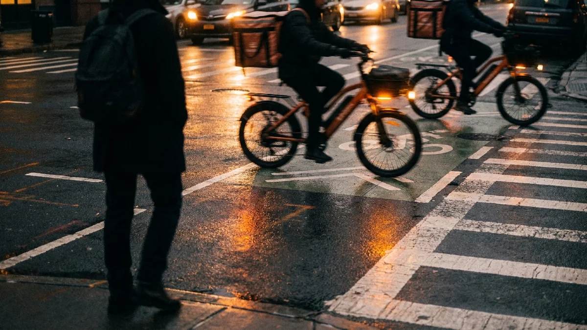
In 2024, 1,332 cyclists were injured and 3 were killed, a per capita serious-injury rate well above the rest of the city.
Manhattan by the Numbers
NYC DOT’s January 2026 report on 2025 traffic fatalities shows Manhattan’s position relative to other boroughs:
| Borough | 2024 Deaths | 2025 Deaths | Change |
|---|---|---|---|
| Brooklyn | 69 | 63 | -9% |
| Queens | 74 | 57 | -23% |
| Bronx | 54 | 33 | -39% |
| Manhattan | 44 | 39 | -11% |
| Staten Island | 12 | 13 | +8% |
Manhattan ranks fourth in total deaths, but that number understates the danger. Dense traffic means crashes happen at lower speeds. Fewer people die, but far more get hurt. Manhattan’s injury crash rate per square mile is the highest in the city.
One pattern holds across all Manhattan crash data. In Manhattan, seniors aged 65 and older account for roughly 41% of pedestrian deaths despite making up about 14% of the population. Wide avenues with long crossing distances and short signal timing put older pedestrians at extreme risk.
Canal Street: Manhattan’s Deadliest Corridor
Canal Street has recorded 10 traffic fatalities over the past decade. Since January 2022, 18 people have been killed or seriously injured on this corridor. Those numbers make Canal Street the single most dangerous road in Manhattan for fatal and severe crashes.
In July 2025, a drunk driver traveling 109 mph struck and killed a cyclist and a pedestrian at the intersection of Canal and Bowery. That speed, more than four times the posted limit, illustrates the type of reckless driving that Canal Street’s wide lanes and limited enforcement invite.
Road design is the core problem. Canal Street acts as a highway connecting the Holland Tunnel, the Manhattan Bridge, and the Williamsburg Bridge. Drivers speed up as they enter and exit these crossings, hitting speeds that do not mix with foot traffic in Chinatown, SoHo, and Tribeca.
Commercial trucks heading to and from New Jersey add weight and blind spots to an already chaotic corridor.
The intersection of Houston Street and Bowery, just north of Canal, ranks among the most dangerous in Manhattan for pedestrians and cyclists. These two corridors form a crash zone that stretches from the Bowery to the West Side Highway.
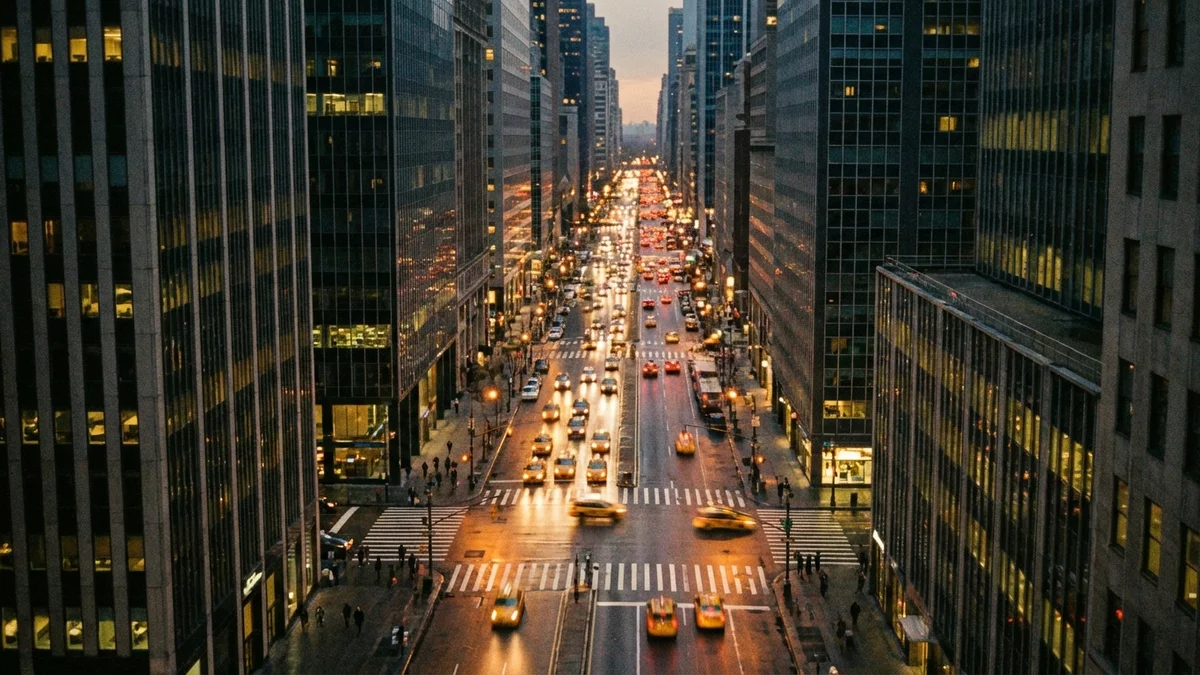
Midtown: 42nd Street and the Times Square Cluster
Midtown carries some of the heaviest crash volume in the borough. Per Transportation Alternatives’ December 2025 report, the single most dangerous obstructed intersection in Manhattan sits uptown at Lenox Avenue and West 120th Street, with 9 people killed or seriously injured since 2022. Several Midtown crossings rank among the borough’s busiest for crashes:
| Intersection | Crash Profile | Primary Risk |
|---|---|---|
| 42nd St & 8th Ave (Port Authority) | ~140 crashes/year | Bus terminal congestion, jaywalking |
| 1st Ave & E 96th St | ~100 crashes/year | Avenue speeding, hospital traffic |
| 6th Ave & W 42nd St | High pedestrian volume | Pedestrian crossings, bus turns |
| FDR Drive & South St | High-speed merges | Limited visibility, ramp conflicts |
At 42nd Street and 8th Avenue, the Port Authority Bus Terminal drives roughly 140 crashes per year. Intercity buses, taxi queues, rideshare pickups, and pedestrians moving between the terminal and Times Square create constant conflict points.
Drivers making turns across pedestrian crosswalks account for a large share of these collisions.
Sixth Avenue and 42nd Street, directly adjacent to Bryant Park, is another high-risk crossing. The intersection sits at the convergence of several bus routes, a bike lane, and heavy foot traffic from Midtown office buildings. Turning buses and crossing pedestrians collide here regularly.
Upper Manhattan: Lenox Avenue and First Avenue
Upper Manhattan’s crash hotspots look different from Midtown. These corridors are wider, faster, and less policed. The result is high-speed collisions, not low-speed fender benders.
Lenox Avenue and West 120th Street in Harlem recorded 9 KSI since 2022, the highest count of any obstructed intersection in the borough. Wide lanes and long blocks through central Harlem encourage speeding. The 120th Street intersection sits near Marcus Garvey Park, where pedestrian crossings create conflict with northbound and southbound traffic.
First Avenue and East 96th Street sees about 100 collisions per year. This intersection sits at the boundary between the Upper East Side and East Harlem, where the avenue widens and speeds pick up. Metropolitan Hospital nearby adds ambulance traffic to the mix.
Broadway: Highest Crash Volume in the Borough
Broadway recorded 712 crashes in 2023, per NYC Open Data motor vehicle collision records. Of those, 381 resulted in injuries and 2 were fatal. No other Manhattan street matches that total crash volume.
What makes the corridor so dangerous is its inconsistency. The road runs the full length of Manhattan, changing character from a commercial corridor in the Financial District to a wide boulevard through Midtown to a residential street in Washington Heights. Each segment presents different hazards.
In Midtown, pedestrian volume around Times Square creates constant vehicle-pedestrian conflicts. Above 96th Street, higher speeds and fewer traffic calming measures produce more severe collisions.
NYC DOT speed camera data shows cameras made a measurable difference. Citywide, camera locations see a 94% reduction in speeding. Locations where cameras went in during 2022 recorded 14% fewer injuries and fatalities than comparable streets without them.
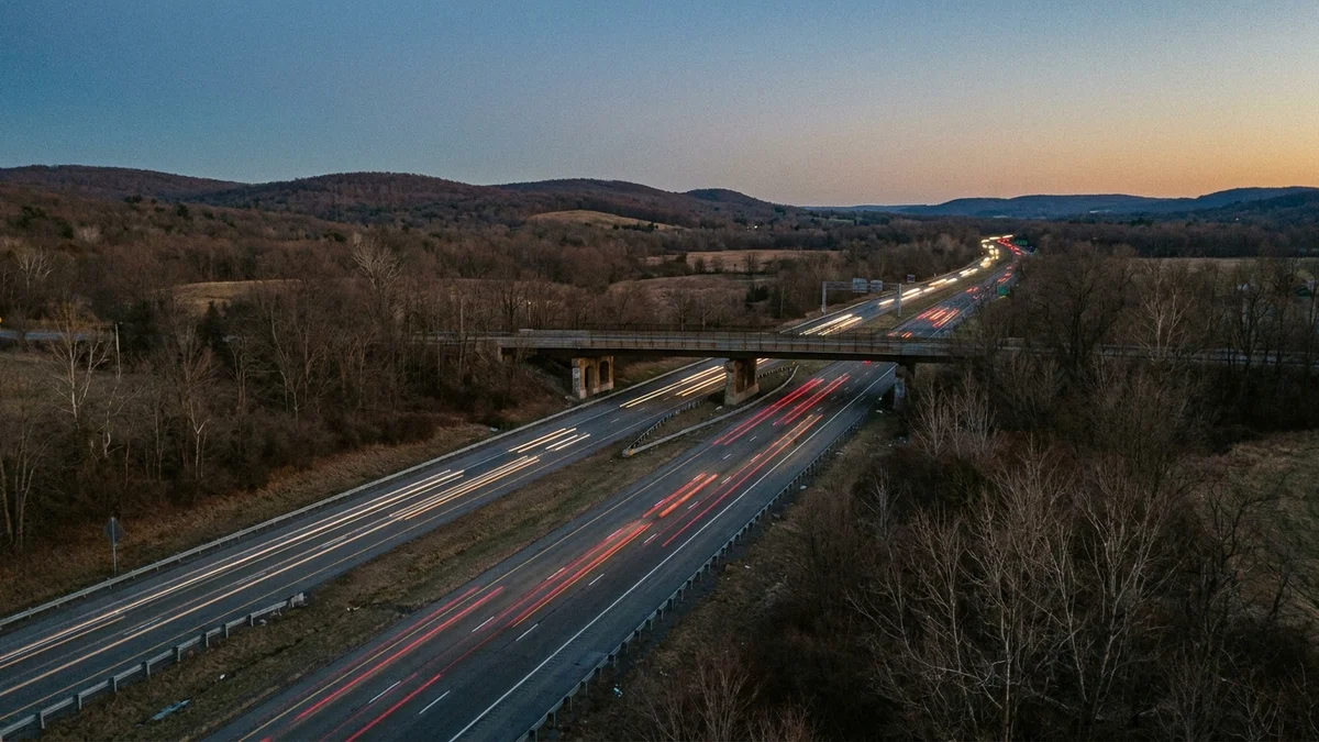
The FDR Drive and Henry Hudson Parkway
Manhattan’s two major limited-access highways produce crash patterns that differ from the borough’s surface streets.
The FDR Drive recorded roughly 850 crashes in 2023. Narrow lanes, tight curves, limited shoulders, and short merge zones create conditions where even moderate congestion leads to collisions. The South Street interchange, where the highway feeds surface streets, stays a persistent conflict point.
Along the West Side, the Henry Hudson Parkway recorded about 476 crashes and 5 fatalities in 2023. Its winding path, combined with entrances and exits that lack adequate acceleration lanes, produces a steady stream of merge-related crashes.
Third Avenue, while not a highway, recorded about 458 crashes and 2 fatalities in 2023. The avenue’s one-way, multi-lane design encourages speeding through the Upper East Side and East Harlem.
Congestion Pricing: Early Safety Impact
Congestion pricing below 60th Street has made Manhattan streets safer. In the first year:
- Crashes declined 7% in the congestion relief zone
- Injuries dropped 8%
- Fatalities fell 40%
- 27 million fewer vehicles entered Manhattan below 60th Street
Early results were even more dramatic. In the first 12 days of the program, injuries dropped 51% and crashes dropped 55% compared to the same period in 2024.
This is the largest single safety gain in Manhattan since the citywide 25 mph speed limit took effect in 2014. Fewer vehicles mean fewer conflict points between cars, pedestrians, and cyclists on streets like Broadway, Canal Street, and the Midtown grid.
The safety gains are concentrated below 60th Street. Upper Manhattan corridors like Lenox Avenue, First Avenue, and Broadway above 96th Street fall outside the toll zone and have not seen the same reductions.
What This Means for Injured Manhattan Residents
Manhattan’s crash data tells a consistent story. Specific streets and intersections produce injuries at predictable rates, year after year. Canal Street’s 18 KSI since 2022. Broadway’s 712 crashes in a single year. Nine killed or seriously injured at Lenox and 120th.
These are not random events. They result from road design, traffic volume, and enforcement gaps that the city has documented but not resolved.
That crash history matters in a legal claim. When an intersection has a documented pattern of car accidents, it can establish that the city or a property owner knew about the danger and failed to act.
Prior complaints, DOT studies, and Community Board requests for traffic calming all become evidence. Claims against the city require a Notice of Claim within 90 days under General Municipal Law § 50-e.
Pedestrian accidents in Manhattan present specific challenges. Per capita, the borough’s serious pedestrian injury rate runs about 25% above the citywide average. Drivers who fail to yield in crosswalks, who turn without looking, or who run red lights in Midtown are liable for the injuries they cause.
Cyclist injuries require immediate documentation. Manhattan’s 1,332 cyclist injuries in 2024 often involve ride-share vehicles, delivery trucks, and turning vehicles that fail to check bike lanes. Physical evidence and witness statements at the scene are critical.
Our firm has handled Manhattan injury cases for over 37 years. We know these intersections, the precincts that cover them, and the patterns that repeat at each location. If you were injured on Canal Street, Broadway, the FDR, or any other dangerous Manhattan road, contact us for a free consultation.
Call 212-221-5999 or request a free case review.